About the District
The Comfort Lake-Forest Lake Watershed District (CLFLWD) is a special purpose unit of local government formed by citizen petition. The District covers 49 square miles in northern Washington and southern Chisago counties and is tasked with maintaining and improving the area’s water resources.
The mission of the Comfort Lake-Forest Lake Watershed District is to protect and improve its water resources through adaptive management and education of local stakeholders.
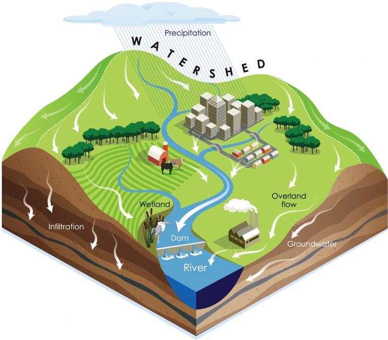
What is a Watershed?
A watershed is an area of land where all water falling or flowing will drain to a common point. Watersheds aren’t divided by political boundaries but by topography and flow of water. In Minnesota, watersheds are management by watershed districts and watershed management organizations to solve and prevent water-related problems.
Watershed district’s are special purpose units of local government authorized by the Legislature in 1955 when it passed the Watershed Act, MSA103D. Watershed districts exist because water management issues frequently cannot be addressed solely within a single municipality or county. Solving these issues requires prioritization based on geographic and hydrologic needs and not political boundaries. The interconnected nature of waterways means that dollars spent in one city or county result in benefits for all other cities and counties in the watershed.

Meet the Board
The CLFLWD is governed by a board of five managers appointed by the counties

Attend a Meeting
Board meetings are open to the public and typically held on Thursday evenings
Read the Reports
The CLFLWD is committed to transparency in all aspects of its operation

Our History
The CLFLWD was established by BWSR in 1999 as a result of citizen petition
Learn More
Cleaner Water Has Arrived
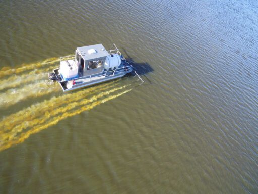
Forest Lake Alum Treatment
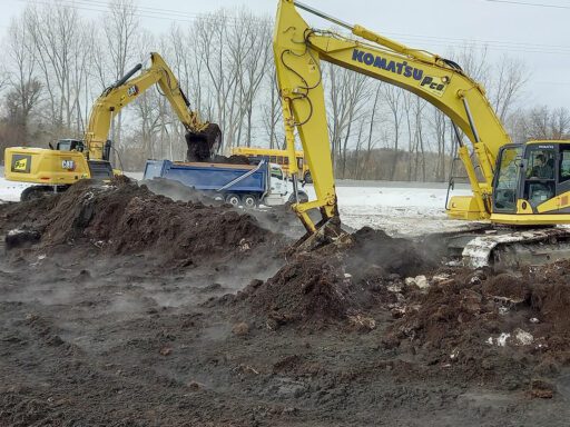
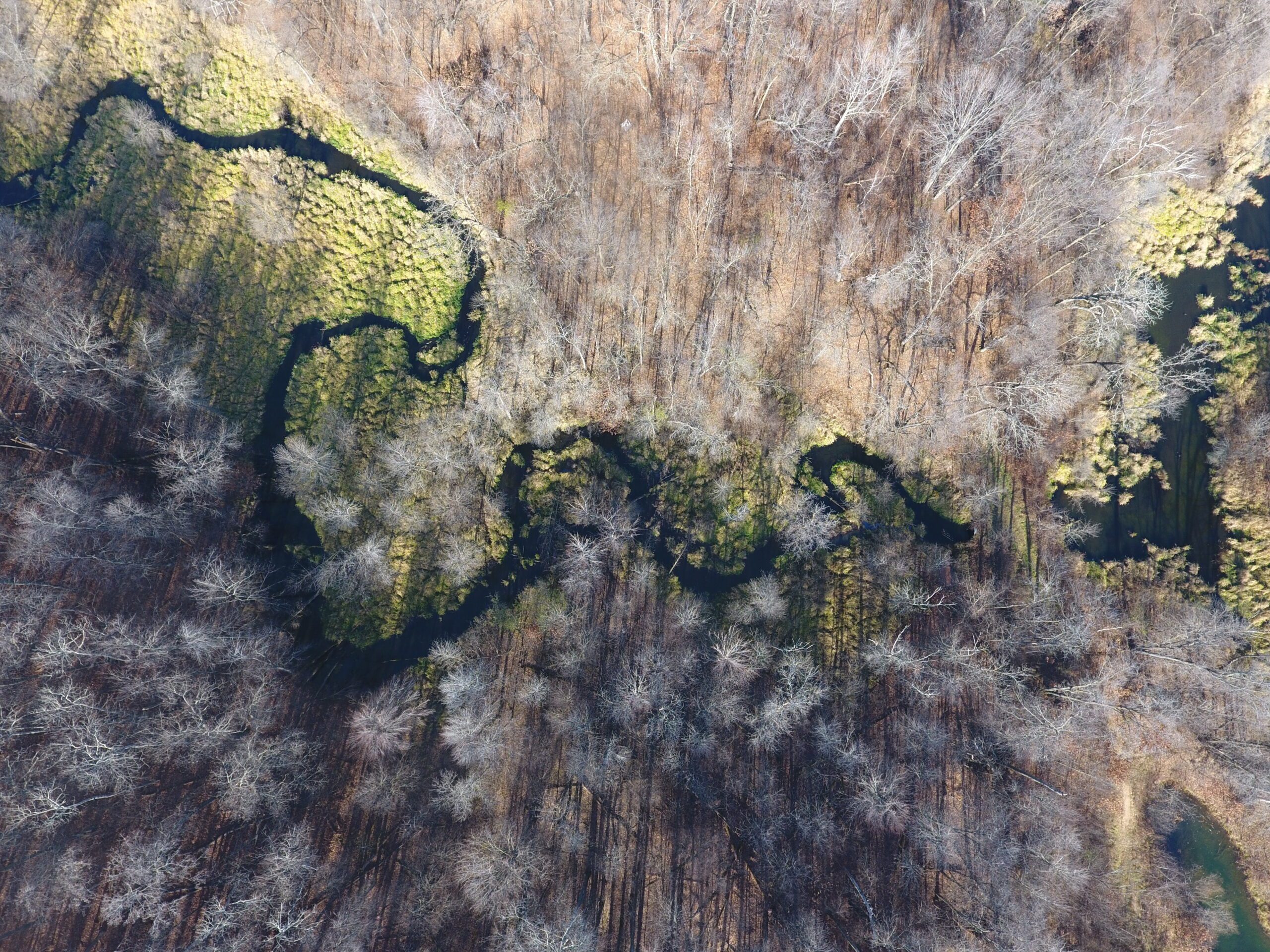
HWY-61 Wetland Project
Watershed Project on HWY 61 Will Restore Wetland Habitat and Improve Water Quality and Flood…